Category
July 15, 2016
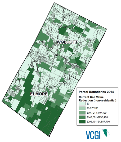
The New Statewide Property Parcel Mapping Program
July 2016
Primary Information Contact: Leslie Pelch, Property Parcel Mapping Program Manager, VT Center for Geographic Information, 802-882-3002, leslie.pelch@vermont.gov
What is the Statewide Property Parcel Mapping Program Project?
- A project funded by the VT Agency of Transportation to create or update parcel data (the mapping data that depicts ownership boundaries on tax maps, plus associated attributes, like SPAN) to meet the state data standard over 3 years AND to establish an ongoing Program to support annual updates to that data. The Vermont Center for Geographic Information is providing staff and coordination to the creation of the Program.
- Mapping contractors will be chosen by the state to do the initial creation/update. Criteria for choosing which contractors work with which towns will include towns preferences and the ability of contractors to create mapping data that meet the state standard.
- A request for proposals will be published in late fall of 2016, seeking mapping contractors interested in working with multiple towns. We expect that about 1/3 of the state will be mapped each year for 3 years. We have not yet determined which towns will be priorities in each year.
Why Statewide Property Parcel Mapping?
- Parcel data support many kinds of mapping and analysis; here are just a few examples:
- Fair and Accurate Taxation and Reappraisal
- Informed Community Planning and Economic Development
- Targeted Natural Resource Conservation
- Current Parcel Data varies from town to town in terms of content, age, and availability, which makes it difficult to do mapping and analysis in some towns or across multiple towns.
- An ongoing Program will work with each town to determine the best way to ensure annual data updates that continue to meet the state data standard: from simply collecting updated parcel data from the town's mapping contractor, to actually editing and updating the parcel data for the town.
You will have opportunities to learn about this project and provide your input at the following events in the coming months:
- Parcel Data Update focus group, August 24 in Montpelier - http://vcgi.vermont.gov/events/parcel_standard_20160824
- VT Assessors and Listers Association Annual Meeting, September 19 in Fairlee
- VLCT Town Fair, October 6 in Essex
- Meetings and Brown Bag Lunch events at Regional Planning Commissions - To Be Scheduled.
More information about the project will be posted as it becomes available at the VCGI website: http://vcgi.vermont.gov/parcels